
Products
From smaller projects to major infrastructure programmes and estates, reduce repetitive administration, identify constraints earlier and keep environmental requirements connected to delivery.

 Environmental assessment and management, from planning to handover.
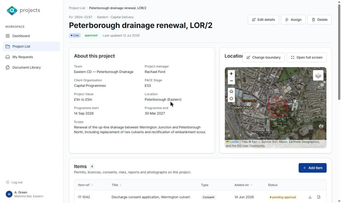
Bring environmental risks, requirements, actions and evidence into one project record. Use environmental datasets and survey information to identify constraints, prepare deliverables and plan the work needed before construction.
For UK rail, ESMapp supports Network Rail’s NR/L2/ENV/015 processes, including:
- Environmental and Social Appraisals (ESAs)
- Environmental and Social Management Plans (ESMPs)
- Climate Adaptation Assessments (CAAs)
Reuse structured information across assessments, plans and reports, and carry it forward between delivery stages.
Manage permits, licences, consents, planning conditions and environmental commitments alongside the activities they affect. Assign responsibilities, track deadlines and connect inspections, incidents and supporting evidence to follow-up actions.
Apply a proportionate approach to individual projects or establish consistent workflows across larger programmes, with outputs configured around client and sector requirements.
 Manage biodiversity across projects and estates.
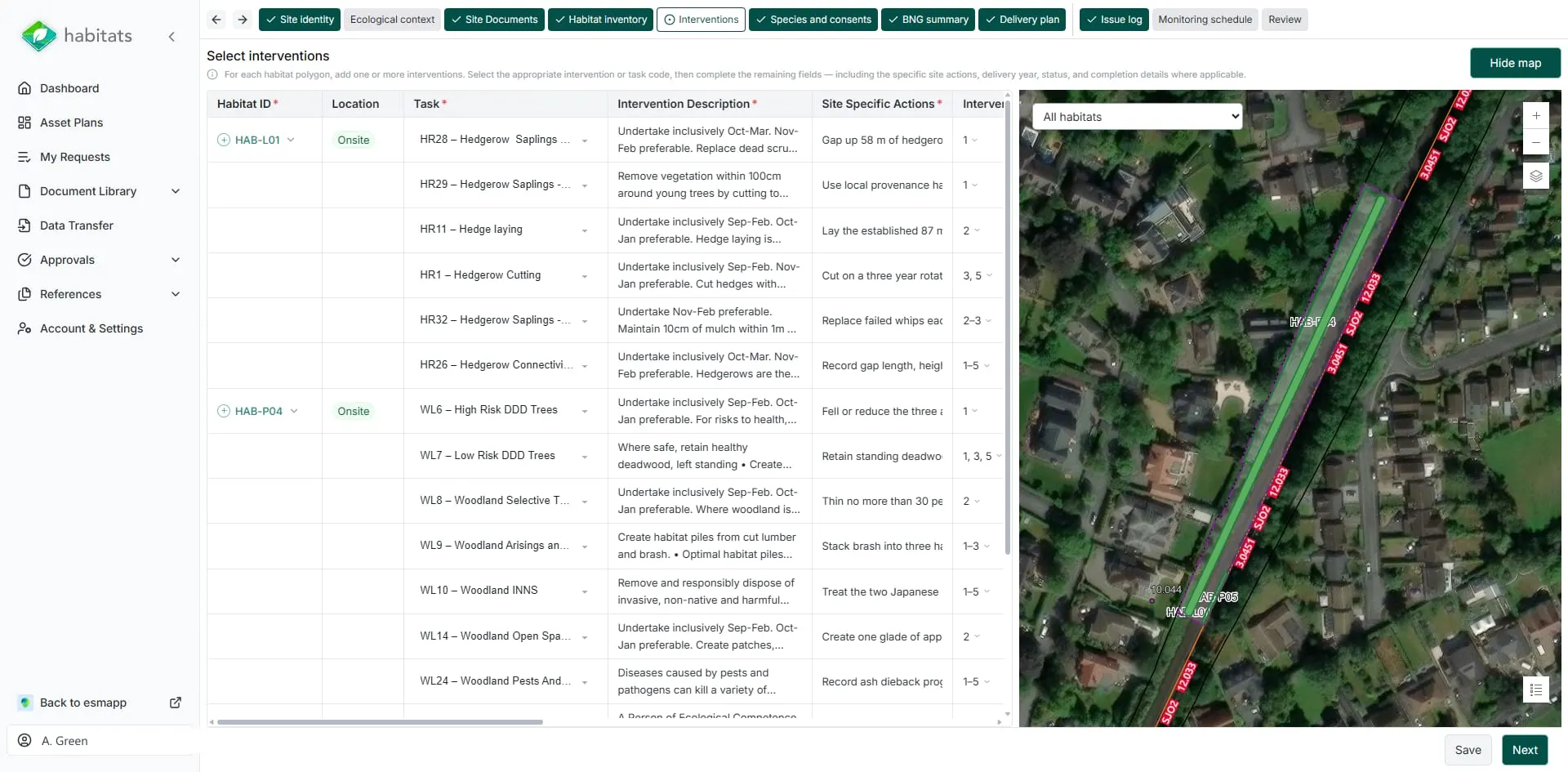
Link habitat maps, ecological surveys and biodiversity commitments with the people responsible for delivering them.
Maintain live Habitat Management and Monitoring Plans, each habitat sits with its baseline and target condition, management interventions, monitoring requirements and evidence. Record change over time and retain continuity between construction and long-term land management.
For asset owners delivering biodiversity net gain, ESMapp keeps a single record of habitats and biodiversity units across the estate. See each project’s deficit, forecast gains and on-site provision alongside units bought off site. Track which units are available, reserved or allocated, with the agreements and management obligations attached to them.
With the full picture in one place, teams can plan across the estate and see where surplus gains could meet the needs of other projects, within the relevant rules and agreements.

 Explore environmental constraints before works even start.
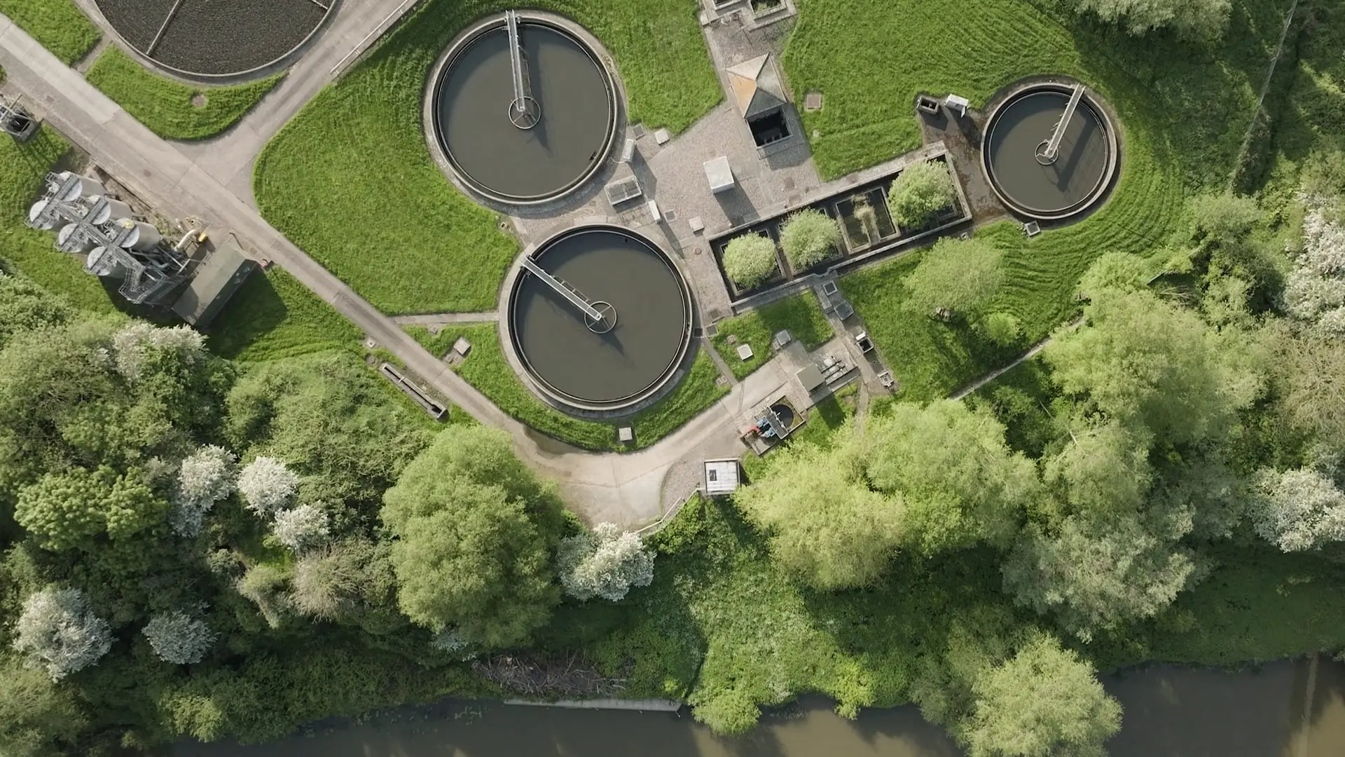
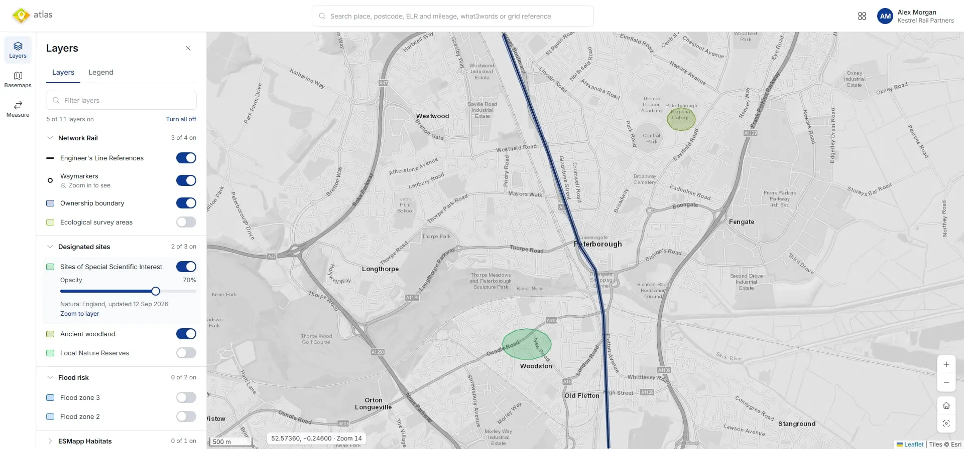
Search a location or draw an area of interest to see the environmental information relevant to it.
ESMapp Atlas brings together over 200 map layers covering habitats, designated sites, water, flood risk, heritage and other environmental elements, alongside your own spatial data.
Use it for early planning, options appraisal, asset reviews and site visit preparation. Identify potential constraints and where further investigation may be needed.
 Coming soon Environmental information and data capture in the field.

Give site teams access to relevant risks, controls and documents, with a straightforward way to record what they find.
Complete inspections, flag issues, add newly identified risks and capture photographs tagged with location information. Ecologists can map habitats and record survey observations directly in the field.
Records remain connected to the relevant project, location or habitat, supporting review, action and reporting through the wider platform.

See ESMapp in practice.
Find out how ESMapp can help your organisation save time, reduce costs and manage environmental risk across projects and estates.