
Smarter Projects. Driving Delivery. Protecting Nature.
The connected platform for environmental management across infrastructure.
ESMapp brings environmental requirements, project information and biodiversity data together, helping teams save time, reduce costs and manage project and programme risk.
Better information. More efficient delivery.
Environmental information is often spread across reports, spreadsheets, maps and different organisations. Finding it, interpreting it and keeping it up to date takes time.
ESMapp connects that information.
Specialists can manage the detail, while project managers, planners and site teams can understand what affects their work. Less duplication and earlier visibility of constraints help reduce avoidable delays, rework and cost.
- Assessments inform Management plans
- Requirements become Accountable actions
- Site records provide Evidence of delivery
Products
From smaller projects to major infrastructure programmes and estates, reduce repetitive administration, identify constraints earlier and keep environmental requirements connected to delivery.
-

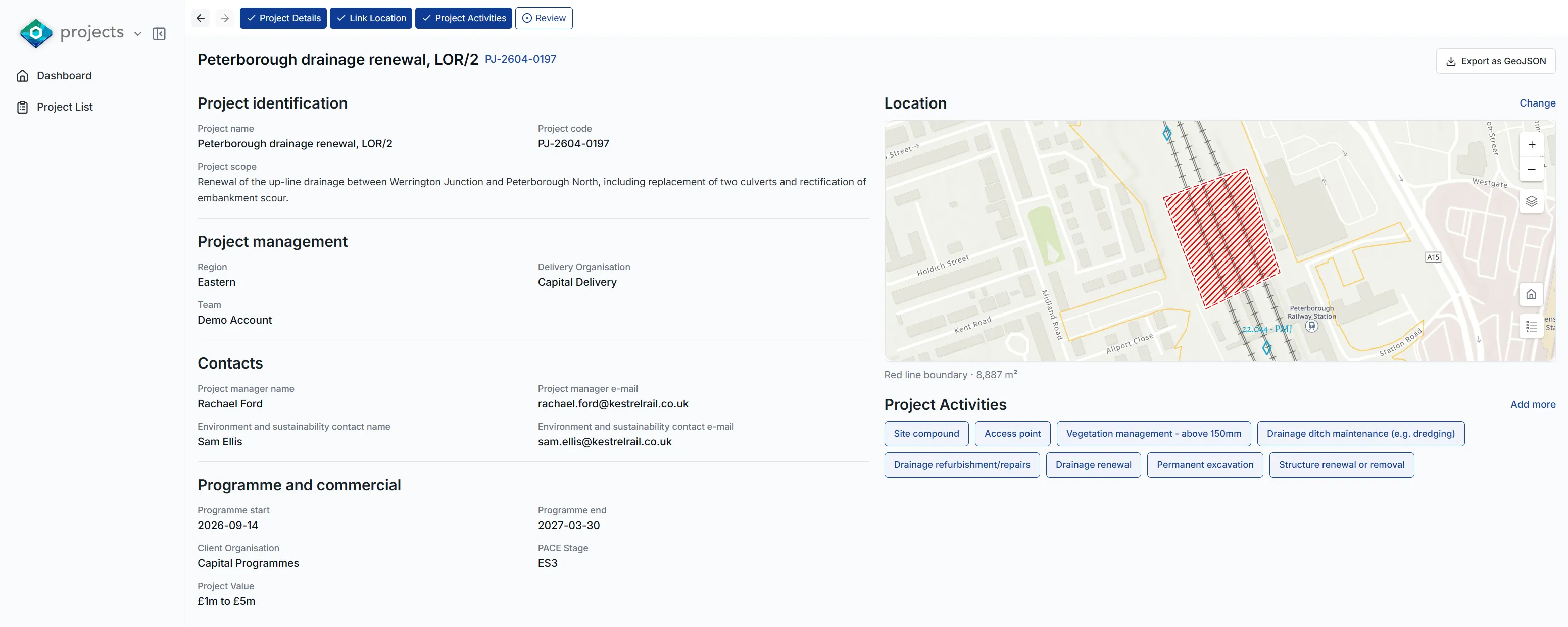
Environmental assessment and management, from planning to handover.
Bring environmental risks, requirements, actions and evidence into one project record.
-
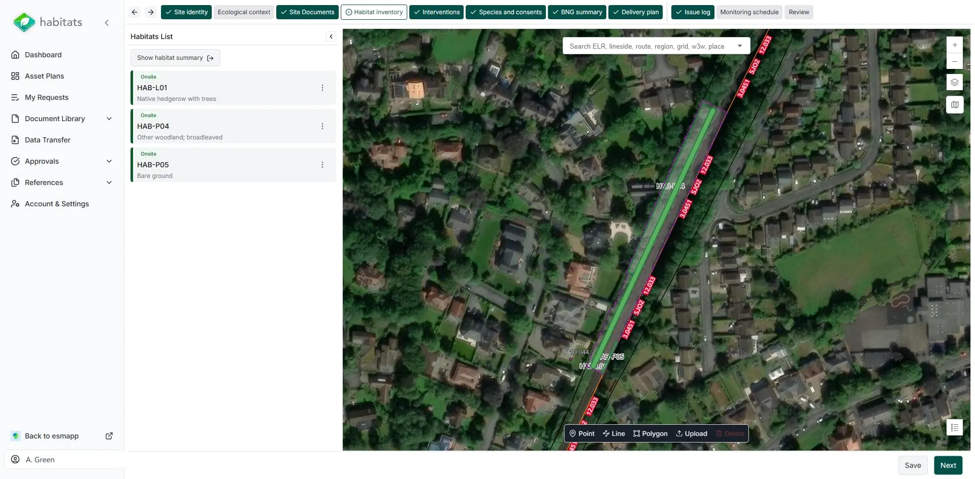
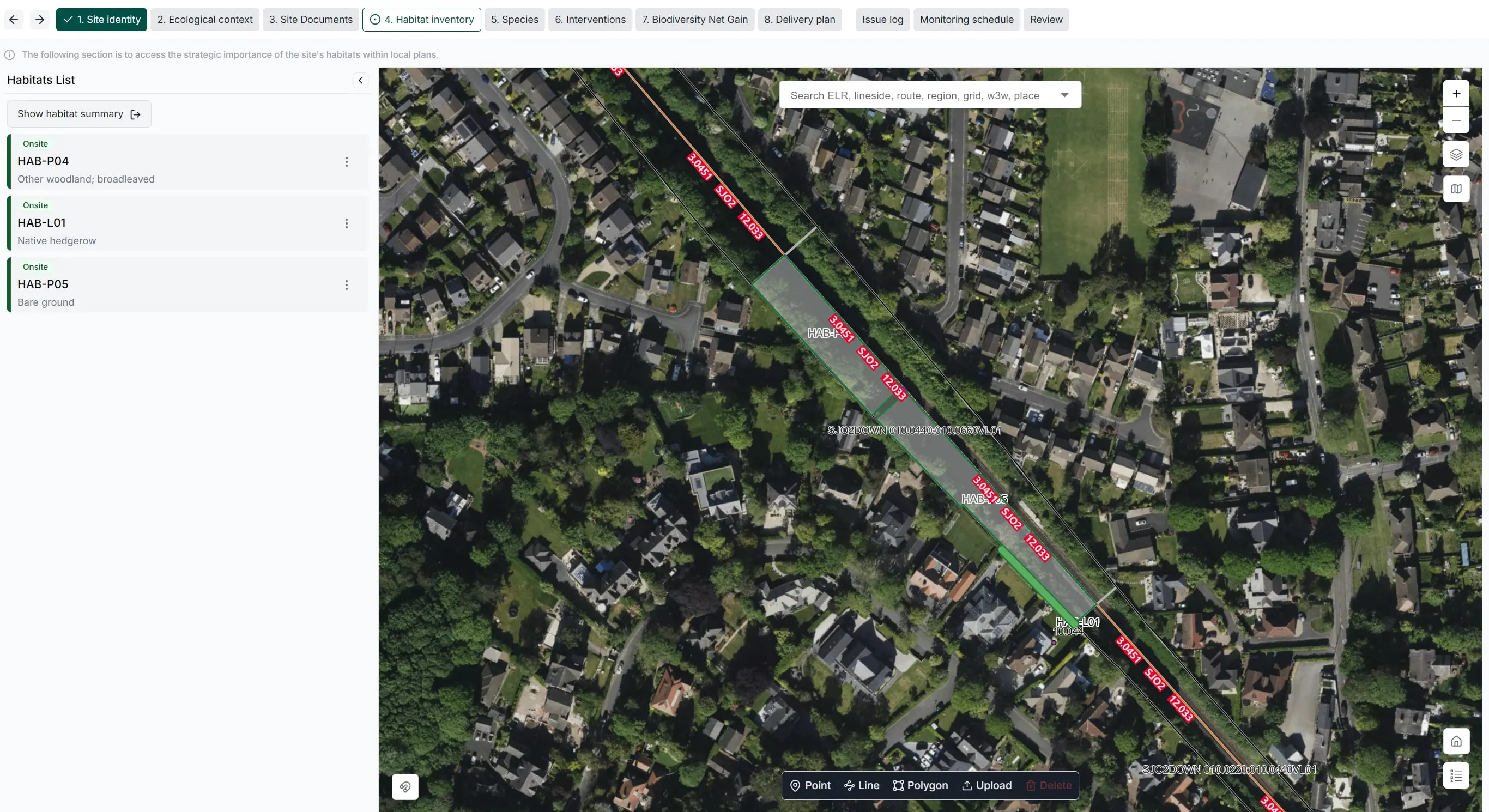
Manage biodiversity across projects and estates.
Link habitat maps, ecological surveys and biodiversity commitments with the people responsible for delivering them.
-

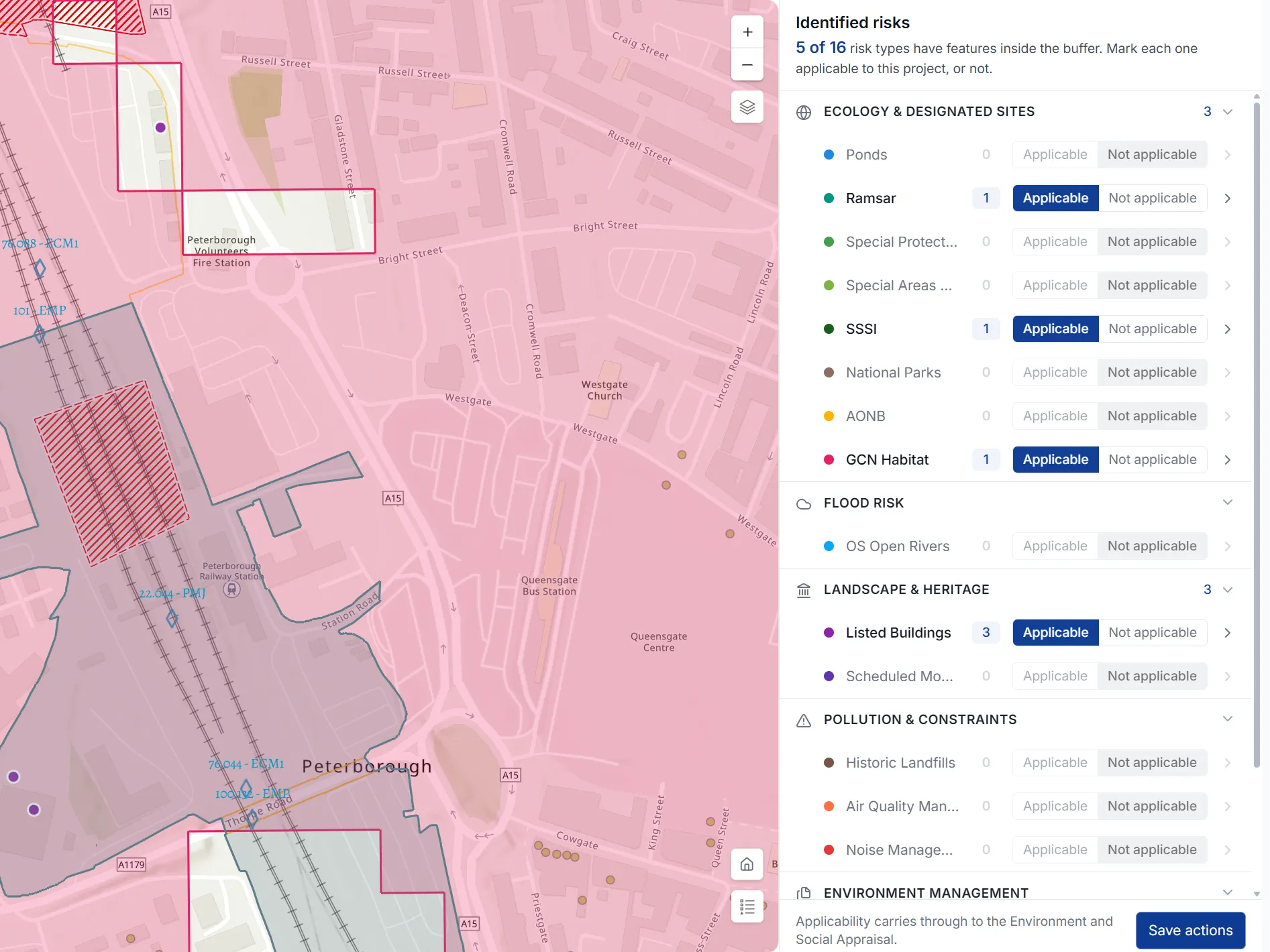
Explore environmental constraints before works even start.
Search a location or draw an area of interest to see the environmental information relevant to it.
-
 Coming soon
Environmental information and data capture in the field.
Give site teams access to relevant risks, controls and documents, with a straightforward way to record what they find.
Connect your data and your delivery partners.
Bring drone imagery, asset plans, surveys and other spatial data into ESMapp to view them alongside environmental constraints and planned works.
Share agreed information between asset owners, designers, contractors, ecologists and specialist suppliers. Establish consistent data requirements across the supply chain while allowing each organisation to manage its own responsibilities and access.
Information stays connected to the project or asset as teams change and contracts finish, preserving the decisions, commitments and evidence needed for future works and long-term management.

Built for
-
Conservation and community groups
Access shared information about local works and contribute ecological knowledge through agreed permissions, helping everyone make better-informed decisions.
-
Environment and sustainability teams
Reduce repetitive assessment and reporting work while maintaining control of risks, obligations, actions and evidence.
-
Infrastructure owners and asset managers
Establish consistent processes across programmes, review delivery and retain environmental knowledge across your assets and estates.
-
Project teams, designers and planners
Understand constraints earlier, access relevant information and plan around environmental requirements.
-
Contractors and supply chains
Coordinate responsibilities, manage contributions from suppliers and provide consistent records to clients.
-
Local authorities
Gain visibility of infrastructure works in your area and showcase local biodiversity schemes to project teams through controlled information sharing.
-
Ecologists and land managers
Connect surveys, habitat management, biodiversity commitments and monitoring in a shared spatial record.
Configured around your organisation.
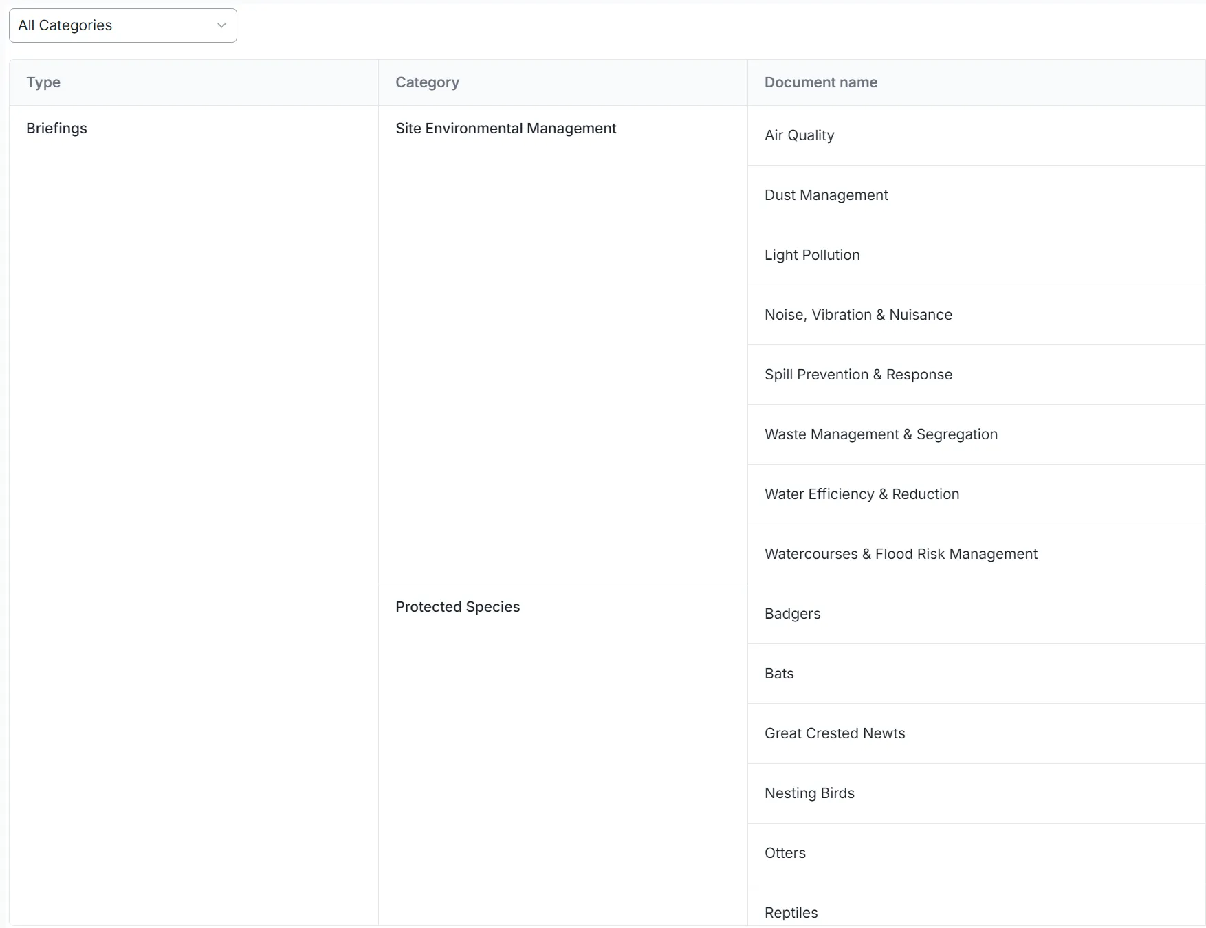
Standards, forms, assessments, terminology, permissions and deliverables can be configured around your standards and processes.
-
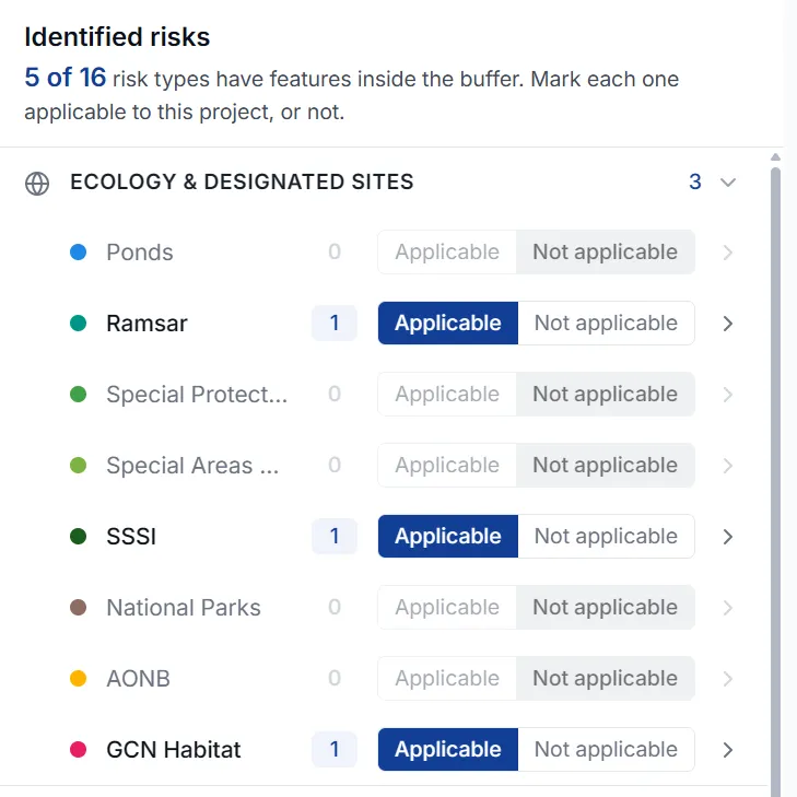
ESMapp supports environmental management across rail, water, energy, highways and wider infrastructure.
-
Use the level of detail appropriate to a smaller project or apply a consistent approach across multiple work packages, contractors and programmes.
-
This flexibility also supports our expansion into European markets, with local datasets, languages and regulatory requirements informing implementation.
What our customers say
“Using ESMapp Projects and Habitats has added real value to our teams, bringing environmental risks, survey information, permits, licences, consents and habitat data together in one accessible platform. Automating data gathering, environmental screening and reporting offers the potential to reduce time spent on these tasks by approximately 89%, freeing our specialists to focus on managing risks and supporting delivery.”
 Ian Ansell Senior Environmental & Sustainability Manager, BAM Nuttall Ltd
See ESMapp in practice.
Find out how ESMapp can help your organisation save time, reduce costs and manage environmental risk across projects and estates.